Professional Drone Inspection & Surveying Services.Advanced UAV solutions for infrastructure inspection, aerial mapping, and energy asset monitoring.

Solar & Energy Inspection

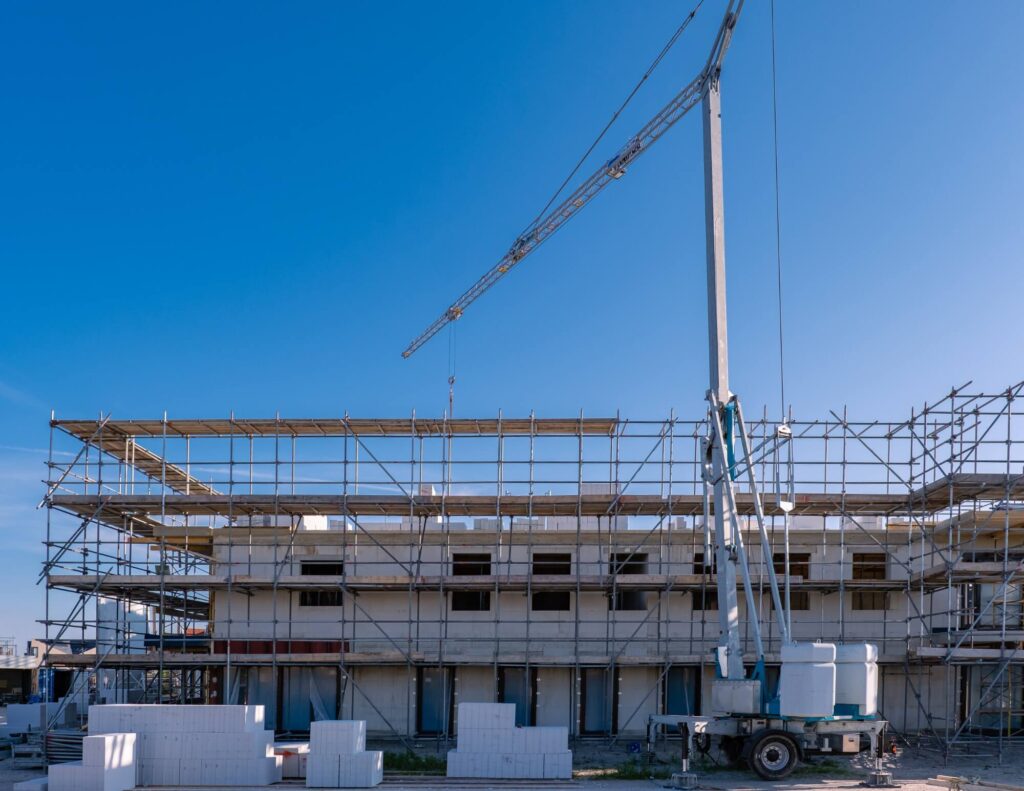
Solar farms and renewable energy facilities require frequent inspections to maintain performance and prevent equipment failure. Drone inspections provide fast and reliable monitoring of large solar installations.

Using thermal imaging sensors, UAVs can quickly identify malfunctioning solar panels, overheating cells, and electrical faults that reduce system efficiency.

Inspection Capabilities

  • Solar panel defect detection
  • Thermal hotspot identification
  • Performance monitoring
  • Preventive maintenance planning

Energy Inspection Services

ServiceDescription
Solar Farm Thermal InspectionDetection of panel overheating and faults.
Wind Turbine InspectionMonitoring of turbine blades and tower structures.
Substation InspectionInspection of electrical substations and equipment.
Energy Asset MonitoringContinuous monitoring of renewable energy infrastructure.

More Services

Surveying & Mapping

High-precision aerial mapping and 3D data collection for land development, construction planning, and infrastructure projects.

Power Line Inspection

Drone inspection of power lines and transmission towers to quickly detect faults and improve maintenance efficiency.

Solar & Energy Inspection

Efficient inspection of solar farms and energy facilities using high-resolution and thermal drone imaging.

Infrastructure Inspection

Safe aerial inspection of bridges, towers, pipelines, and critical infrastructure assets.

Thermal & Predictive Maintenance

Thermal drone inspections to identify overheating components and prevent equipment failures.

STEP 1
Project Consultation
We discuss your inspection or surveying requirements, project scope, site conditions, and technical objectives.
STEP 2
Mission Planning & Preparation
Our team prepares the drone flight plan, safety protocols, and data capture strategy for accurate results.
STEP 3
Drone Inspection & Data Collection
Advanced UAV systems capture high-resolution imagery, video, and thermal data across the project site.
STEP 4
Data Analysis & Reporting
We process aerial data and deliver detailed reports, maps, and insights to support maintenance and decision-making.

Let's Build Together with Expert Construction Services

From planning and design to construction and delivery, our team is ready to provide reliable solutions tailored to your project needs.