Delivering precise aerial inspections, mapping, and infrastructure monitoring solutions for energy, utilities, and construction industries.
SERVICES
Professional Drone Inspection & Surveying Services
We provide advanced UAV-based inspection and aerial data solutions to help utilities, energy companies, construction firms, and government agencies monitor infrastructure safely, efficiently, and accurately.
Actionable aerial data and inspection reports to support smarter infrastructure management.
HOW WE WORKS
Our Streamlined Drone Inspection Process
Our structured workflow ensures accurate aerial data collection, efficient inspections, and detailed reporting for infrastructure, energy, and surveying projects.
STEP 1
Project Consultation
We discuss your inspection or surveying requirements, project scope, site conditions, and technical objectives.
STEP 2
Mission Planning & Preparation
Our team prepares the drone flight plan, safety protocols, and data capture strategy for accurate results.
STEP 3
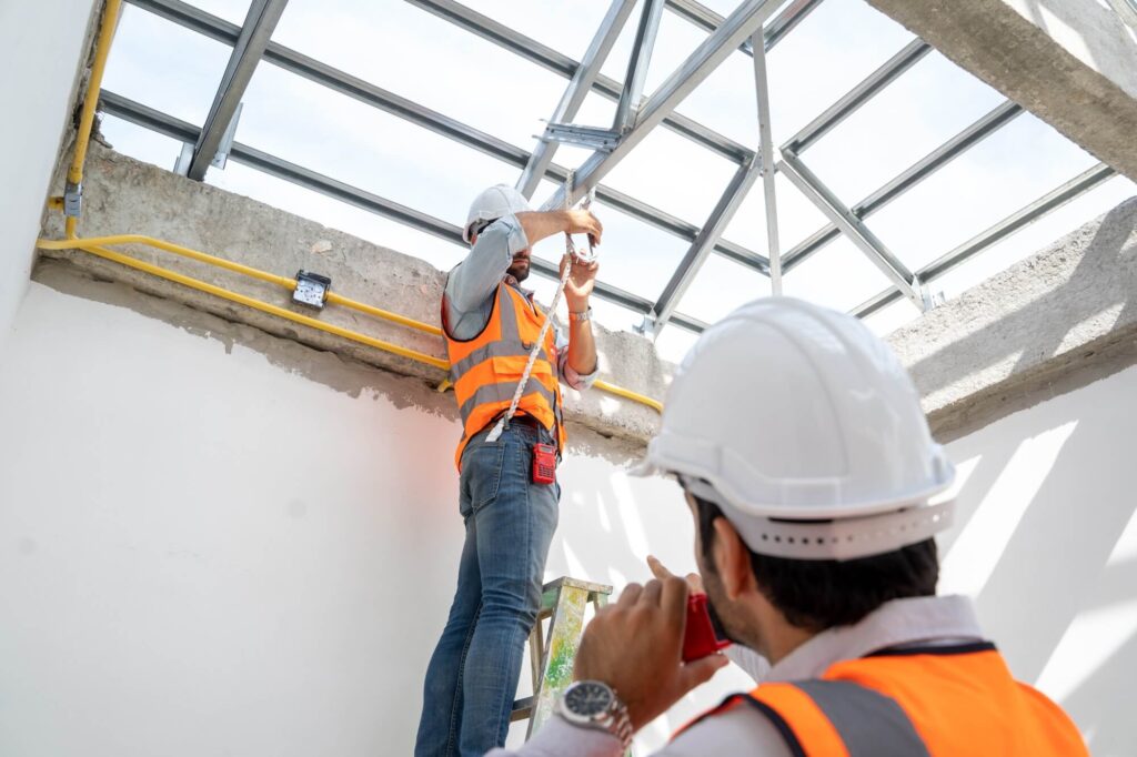
Drone Inspection & Data Collection
Advanced UAV systems capture high-resolution imagery, video, and thermal data across the project site.
STEP 4
Data Analysis & Reporting
We process aerial data and deliver detailed reports, maps, and insights to support maintenance and decision-making.
SERVICE INDUSTRIES
Drone Inspection Solutions Across Multiple Industries
We provide advanced UAV inspection, aerial surveying, and monitoring services for infrastructure, energy, construction, and public sector organizations.
Utilities & Power Infrastructure
Drone inspection of transmission lines, towers, substations, and electrical networks to improve safety and maintenance efficiency.
Renewable Energy
UAV inspections for solar farms and wind turbines to detect faults, monitor performance, and support preventive maintenance.
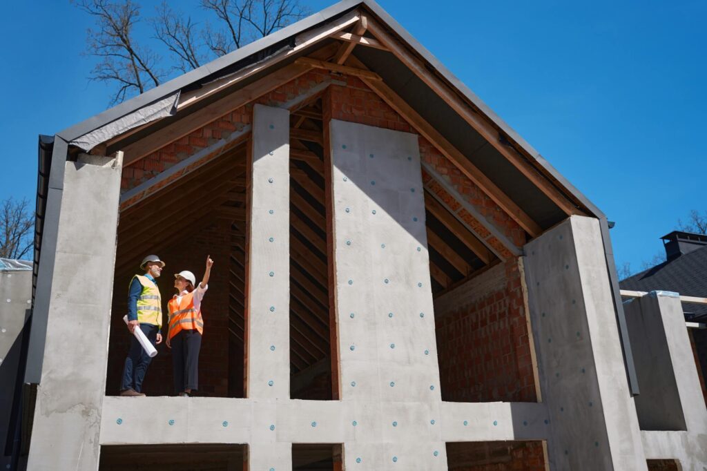
Construction & Engineering
Drone mapping, progress monitoring, and site inspections that help construction teams improve project planning and site management.
Government & Public Infrastructure
Drone inspections for bridges, roads, railways, and public infrastructure to improve safety and infrastructure monitoring.
Industrial Facilities
Aerial inspections of factories, plants, and industrial assets to detect structural issues and improve maintenance planning.
Telecommunications Infrastructure
Drone inspection of telecom towers and communication infrastructure to ensure network reliability and equipment safety.
PRICING
Choose the Right Package for
Your Build
Choose the right UAV inspection and aerial surveying package tailored to your project size, infrastructure type, and operational requirements.
Basic Build
Ideal for small-scale construction and renovation needs
Not Sure Which Drone Inspection Service Fits Your Project?
Our UAV specialists are ready to help you choose the right inspection or surveying solution based on your infrastructure, project scope, and operational needs.